Live Blog: Halloween Storm Weekend
Snow Pumpkin from March 1, 2010 by spactacular on Flickr
The New York City area is bracing for the first snow of the season, which is set to begin on Saturday October 29th. Are you seeing snow in your area? Leave a comment below!
Refresh the page to see the latest updates
Links to follow the storm
- Updates are being posted on Twitter from all across the world using the hashtag #snowtober or search #snowtober posts with links, which will show messages with photos!
- The Huffington Post – New York is following along.
- Tweet your NYC snow photos to DNAinfo, The NY Daily News, or am New York!
- Watch the snow fall live on EarthCam’s live NYC webcams!
- The Weather Channel is running a live blog covering the storm as it moves through the Northeast
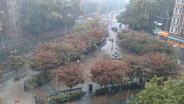
11:00 AM – The current conditions: 38°F (feels like 29°) and heavy rain.
Snow has been reported in many states south and west of NYC, with the storm currently moving through Philadelphia and NJ.
The NYC Office of Emergency Management has issued a Hazardous Travel Advisory:
The National Weather Service is forecasting a winter storm to arrive on Saturday afternoon. The storm could produce up to two inches of rain and as much as three inches of wet, heavy snow with sustained winds between 30-40 mph. Wind gusts of 50 mph or greater are also possible.
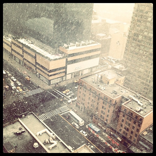
11:30 AM – Snow being reported within NYC! Dumbo; Upper East Side – are you seeing snow yet in your neighborhood?
11:39 AM – Snowtober? How often has it snowed in NYC in October?
How rare is October snow in NYC ? We’ve only had snow 18 times in October over the past 143 years. A trick, not a treat from mother nature – NY1 Weather
11:42 AM – Snow in the West Village
Photo by sarahashley on Instagram
11:50 AM – Video of snow falling
Video by bccmee on Twitter
12:10 PM – Video of the snow beginning in Midtown
Video by Laughing Squid on Youtube
12:20 PM – Big snowflakes falling in the Village
12:35 PM – Video of snow in the West Village
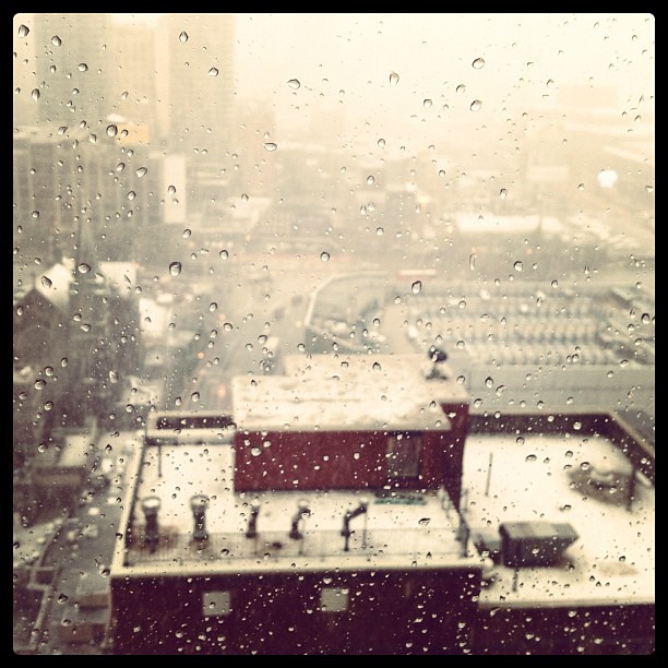
12:55 PM – The snow has mainly been wet and mixed with rain, so there is not much accumulation on the ground within NYC. Watch live video of the snow coming down (with emergency scanner audio!) from Emergency Stream
1:05 PM – Current snow predictions for the next 48 hours from The Weather Channel
Snow predictions – Possibility for New York City to get 3-5 inches of snow over the next 48 hours
1:33 PM – Thundersnow!
New York City’s favorite meteorological event, Thundersnow, has struck again! Just after 1pm, there were occasional faint rumblings of thunder over Manhattan, and at 1:30pm, there was a flash of lightning and a large peal of thunder!
Currently, there are finer snowflakes falling, which are mixing with rain and not accumulating in any way.
1:37 PM – Special weather statement issued for the New York City area
As the storm continues, the heavy, wet snow is causing problems in some areas. The National Weather Service released a Special Weather Statement warning of downed trees and power outages:
Headline: Special Weather Statement issued October 29 at 1:37PM EDT expiring October 29 at 5:00PM EDT by NWS New York City – Upton
…Dangerous Travel Conditions…With Increasingly Widespread Downed Trees…Tree Limbs And Power Outages Expected Through 5 PM… Heavy Bands Of Wet Snow Will Continue To Affect The Area Through 5 PM…With Snow Fall Rates Of 1 To Possibly 2 Inches Per Hour. Embedded Thunder Will Also Be Possible. This Will Result In Dangerous Travel Conditions With Snow And Slush Covered Roads And Visibilities Reduced To 1/4 Mile Or Less At Times. Winds Will Also Be Increasing Through The Late Afternoon Hours To 15 To 25 Mph With Gusts 30 To 40 Mph…Highest Closer To The Coast. The Combination Of Strong Winds And Heavy Wet Snow On Trees With Partial Or Full Foliage Will Result In Widespread Damage And Power Outages. This Is A Dangerous Storm…With Non Essential Travel Not Recommended. Monitor The National Weather Forecasts For The Latest.
Please stay tuned to your local radio or TV Station for more information.
2:05 PM – Snow on the tracks
Great photo from @chenrisius on Twitter
2:39 PM – The storm is sticking around
Previously, NYC was only going to be barely on the rain/snow line for this storm, but its trajectory has changed and the updates are coming in – now some areas have the potential for 6-10 inches of snow!
Bryant Park’s CitiPond skating rink, just recently opened, gets its first snowfall
2:47 PM – Snow in Midtown by John de Guzman
NYC snow by John de Guzman on Flickr | @johndeguzman
3:40 PM – The scene in the West Village
Snow coming down at Seventh Ave and Christopher St.
7:00 PM – Final update
The storm mainly turned to rain and slush over Manhattan, with the Bronx and New Jersey getting hit hard with heavy snow and power outages. With the leaves still on the trees this early in the season, there was more potential for the snow to pile up and weigh down tree limbs, which lead to branches snapping and falling.
Central Park has recorded a snowfall of 1.3 inches, which is a new record for October! Check out the official National Weather Service announcement:
…RECORD OCTOBER SNOWFALL AMOUNT SET FOR CENTRAL PARK NY…
AS OF 2 PM TODAY…CENTRAL PARK RECORDED 1.3 INCHES OF SNOWFALL.
SINCE SNOWFALL RECORDS BEGAN IN 1869…AN INCH OF SNOWFALL HAS NEVER
BEEN RECORDED IN THE MONTH OF OCTOBER. THE LAST TWO TIMES THAT
MEASURABLE SNOW FELL IN THE MONTH OF OCTOBER WAS…OCTOBER 21 1952
WITH 0.5 INCHES AND OCTOBER 30 1925 WITH 0.8 INCHES.
THEREFORE…THIS BREAKS THE DAILY RECORD FOR SNOWFALL IN OCTOBER AND
THE MOST SNOWFALL EVER RECORDED IN THE MONTH OF OCTOBER.
